Fulqrum Publishing Home   |   Register   |   Today Posts   |   Members   |   UserCP   |   Calendar   |   Search   |   FAQ

Go Back   Official Fulqrum Publishing forum > Fulqrum Publishing > IL-2 Sturmovik > Daidalos Team discussions


Thread Tools Display Modes
Prev Previous Post   Next Post Next
  #11  
Old 01-09-2014, 07:03 PM
Asheshouse Asheshouse is offline
Approved Member
 
Join Date: Oct 2007
Location: UK
Posts: 271
Default

Using modern SRTM data provides an excellent and fairly quick start. Having done that its fairly easy to overlay historical maps in photoshop to adjust coastlines and river lines.

Getting the position of road and rail and urban boundaries right is not so easy due to the limitations of the game engine. The best you can aim for is just to get the right feel.

The biggest contribution to the appeal of a great map is probably the production of new artwork for ground textures and the inclusion of bump maps.

This is part of the Rabaul map by Bee. (still WIP)


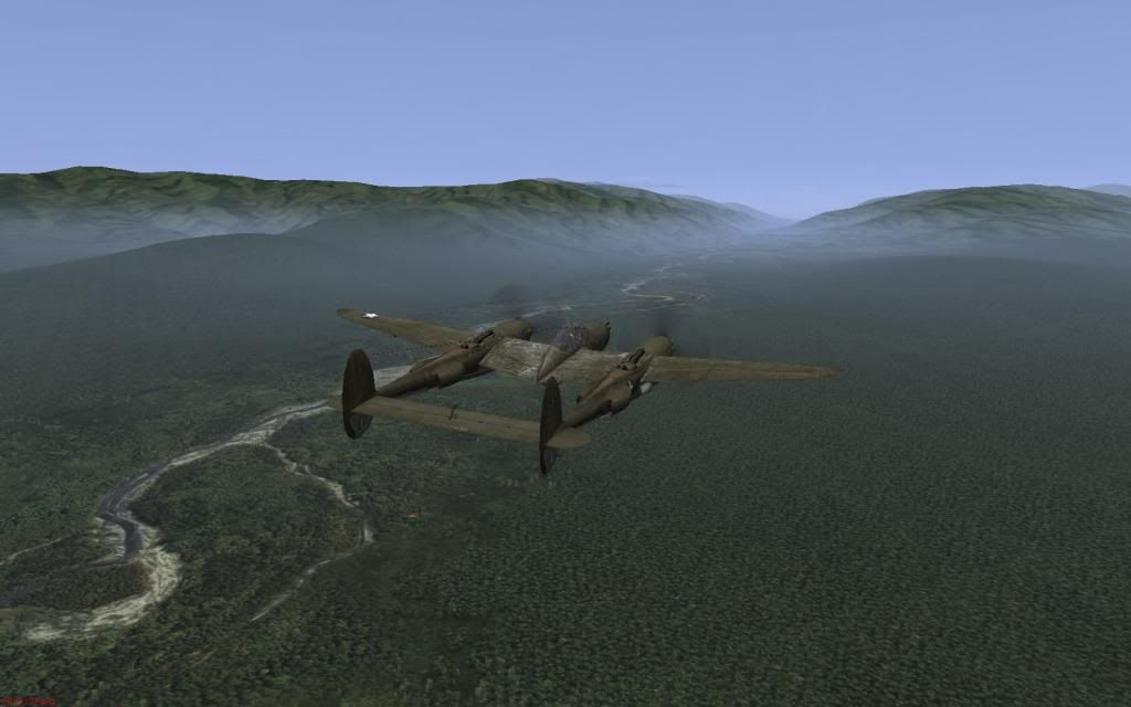
Last edited by Asheshouse; 01-09-2014 at 07:18 PM.
Reply With Quote


Posting Rules
You may not post new threads
You may not post replies
You may not post attachments
You may not edit your posts

BB code is On
Smilies are On
[IMG] code is On
HTML code is Off

Forum Jump


All times are GMT. The time now is 05:10 PM.


Powered by vBulletin® Version 3.8.4
Copyright ©2000 - 2025, Jelsoft Enterprises Ltd.
Copyright © 2007 Fulqrum Publishing. All rights reserved.